What are LoC, LAC and IB? Understanding the differences between India's frontlines with Pakistan, China
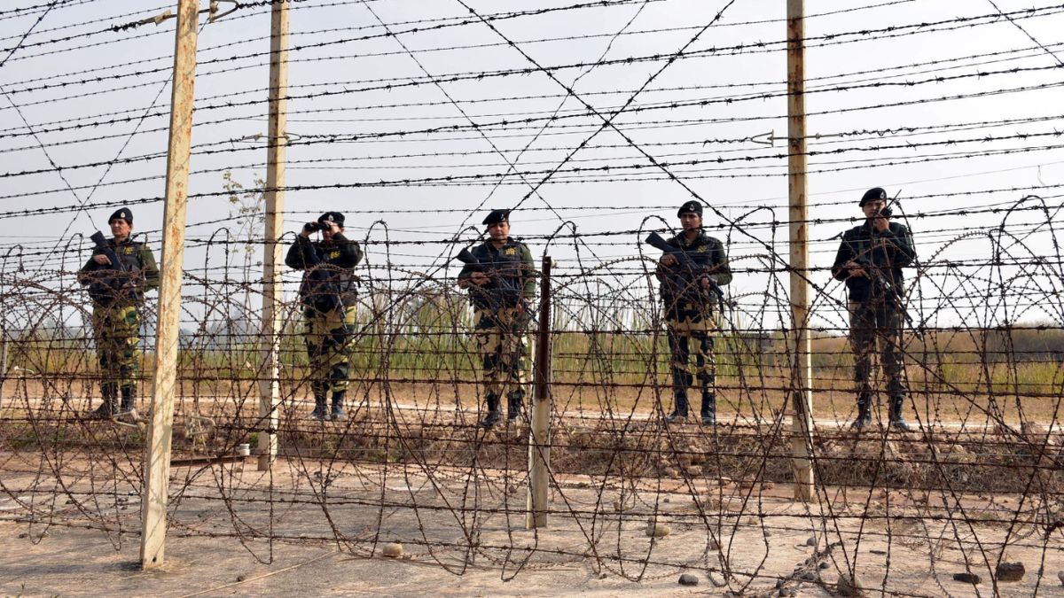 India and Pakistan had agreed on a ceasefire deal on February 25, 2021 | BSF
The news reporting of the recent military conflict between India and Pakistan brought to focus the borders or boundary lines India shares with its different neighbours, namely the Line of Control (LoC), Line of Actual Control (LAC), and International Border (IB). While everyone knows that these are India's borders, it is important to know the differences between these three.
The Line of Control is a military control line in Jammu and Kashmir, which divides the current region of Jammu and Kashmir from Pakistan-occupied Kashmir (POK). The LoC was officially established after the Simla Agreement of 1972, following the Indo-Pakistani War of 1971. Initially called the “Cease-Fire Line” (CFL) after the first India-Pakistan war of 1947, this border stretches across 740 kilometres from Manawar near Jammu to the northernmost demarcated point near the glacier area in Ladakh. The de facto boundary, nonetheless, does not have the legal status of an international border.
The Line of Actual Control, or LAC, is the border between China and India that separates Chinese-controlled territory from Indian-controlled regions. According to India, this is a 3,488-km-long border, whereas China considers it to be only 2,000 kilometres long. The major disputed region along the border is Aksai Chin, which is primarily controlled by China, although India claims it as its own. During the 1962 Sino-Indian War, China took control over Aksai Chin.
This LAC, which is not legally recognised, is divided into three sectors: the Western sector in Ladakh, which includes Aksai Chin; the Middle sector in Himachal Pradesh and Uttarakhand; and the Eastern sector in Sikkim and Arunachal Pradesh, which China claims is part of Tibet.
IB, or International Border, is an officially recognised border that India shares with seven countries—Afghanistan, Bangladesh, Bhutan, China, Myanmar, Nepal and Pakistan. The IB between India and Pakistan starts from Jammu and Kashmir in the north to Zero Point in the south. This border between India and Pakistan was formed upon Partition in 1947, and stretches across 2,900 km.
Defence